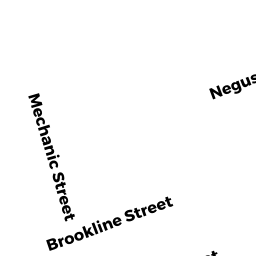
20 NEGUS ST
Owner Information
ILARRAZA, CARMEN M
20 NEGUS ST
WEBSTER, MA 01570


Property Details
20 NEGUS ST is classified as a Single Family Residential (Conventional).
The primary structure on this property was built in 1880. There are 1,296ft2 of built area within this property. There is 1,296ft2 of residential/living space within this property. This property is listed as having 7 rooms.
20 NEGUS ST is valued at $164,200. The land is valued at $46,900 and the structures are valued at $117,300.
This property is in Zone MR. Confirm with local Zoning Board authorities to ensure there are no overlays or other easements on this property.
The most recent deed for 20 NEGUS ST is recorded at the local registrar in Book 65668, Page 125. 20 NEGUS ST was last sold on Thursday, July 22, 2021 for $259,000.
Assessment data from fiscal year 2022.
Flood Data
According to the FEMA National Flood Hazard Layer, this property does not appear to be in a flood zone. It may also be in an area not yet reviewed. Nonetheless, confirm this information prior to taking any action.
To view the flood hazards around this property, create a FEMA "Firmette" Map of the area around 20 NEGUS ST.
Broadband Internet Providers
| Provider | Type | Bandwidth (mbps) | |
|---|---|---|---|
| GCI Communication Corp. | Satellite | 0 | 0 |
| Verizon New England Inc. | DSL | 15 | 1 |
| Charter Communications Inc | Cable | 940 | 35 |
| Viasat Inc | Satellite | 100 | 3 |
| T-Mobile | Fixed Wireless | 25 | 3 |
| VSAT Systems, LLC. | Satellite | 2 | 1 |
| HughesNet | Satellite | 25 | 3 |
Broadband service provider data from December 2020.
Adjacent Properties
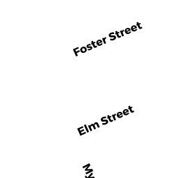
- 6 MAY ST
Two-Family Residential owned by REDGATE, ANDREW H - 4 MAY ST
Two-Family Residential owned by LEMOUREAUX, JASON J - 22 NEGUS ST
Mixed Use (Primarily Residential, some Commercial) owned by GRECO, ANDREA - 8 MAY ST
Single Family Residential owned by PLAZA, JEAN L - 18 NEGUS ST
Two-Family Residential owned by ORTIZ GONZALEZ, EDDIE